 Add Row
  Add
Add 


Innovative Drone Technology Revolutionizes Community Forest Restoration
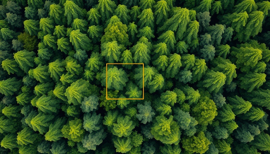
As climate change continues to threaten our planet's natural resources, innovative solutions are emerging to combat environmental degradation. One promising development is the use of inexpensive drone technology for community forest restoration. A study led by the University of Bristol reveals how small drones paired with open-source software can empower community organizations to monitor forest health.
Cost-Effective Solutions for Carbon Monitoring
Traditionally, assessing the carbon storage of forests has been cumbersome and expensive. However, researchers found that with just one lightweight, consumer-grade drone, they could capture hundreds of images to create highly accurate models of forest areas. The study highlighted that this method is significantly cheaper than relying on satellite technology or extensive field surveys, which often pose logistical challenges for smaller communities.
Empowering Communities with Technology
Lead author Dr. Ben Newport emphasizes the significance of democratizing data collection. He notes, "This could potentially enable community forest groups around the world to engage with restoration funding schemes that would otherwise be beyond their technical capacities." By making such technology available, communities can take ownership of their environmental data and establish ongoing monitoring.
Key Benefits of Using Drones
- Access to Funding: Accurate data on carbon storage allows communities to qualify for carbon credits and governmental support.
- Simplified Monitoring: Drones reduce the complexity of measuring forest health, facilitating easier tracking of restoration efforts.
- Engagement and Ownership: Community involvement in data collection fosters a sense of empowerment and pride in local efforts.
Real-World Impact: A Case Study in Malaysia
The international research team tested this drone technology in Malaysian Borneo, covering a two-hectare site in the Lower Kinabatangan Wildlife Sanctuary. By employing a technique known as Structure-from-Motion photogrammetry, they transformed the captured imagery into 3D point clouds, ultimately calculating tree biomass and aboveground carbon storage. This was pivotal in demonstrating that even remote and rural communities could leverage advanced technologies for ecological restoration.
Looking Ahead: The Future of Community Forestry
As technology continues to evolve, the integration of drones into environmental monitoring could broaden access for many communities across the globe. Such initiatives represent a larger trend in which technology becomes a helpful ally in the fight against climate change.
By embracing these innovative methods, we can inspire collective efforts in sustainable living that have both local and global significance. Ultimately, this aligns the goal of protecting our planet with the empowerment of communities everywhere.


Write A Comment